For Astronomers Without Borders
Transit of Venus
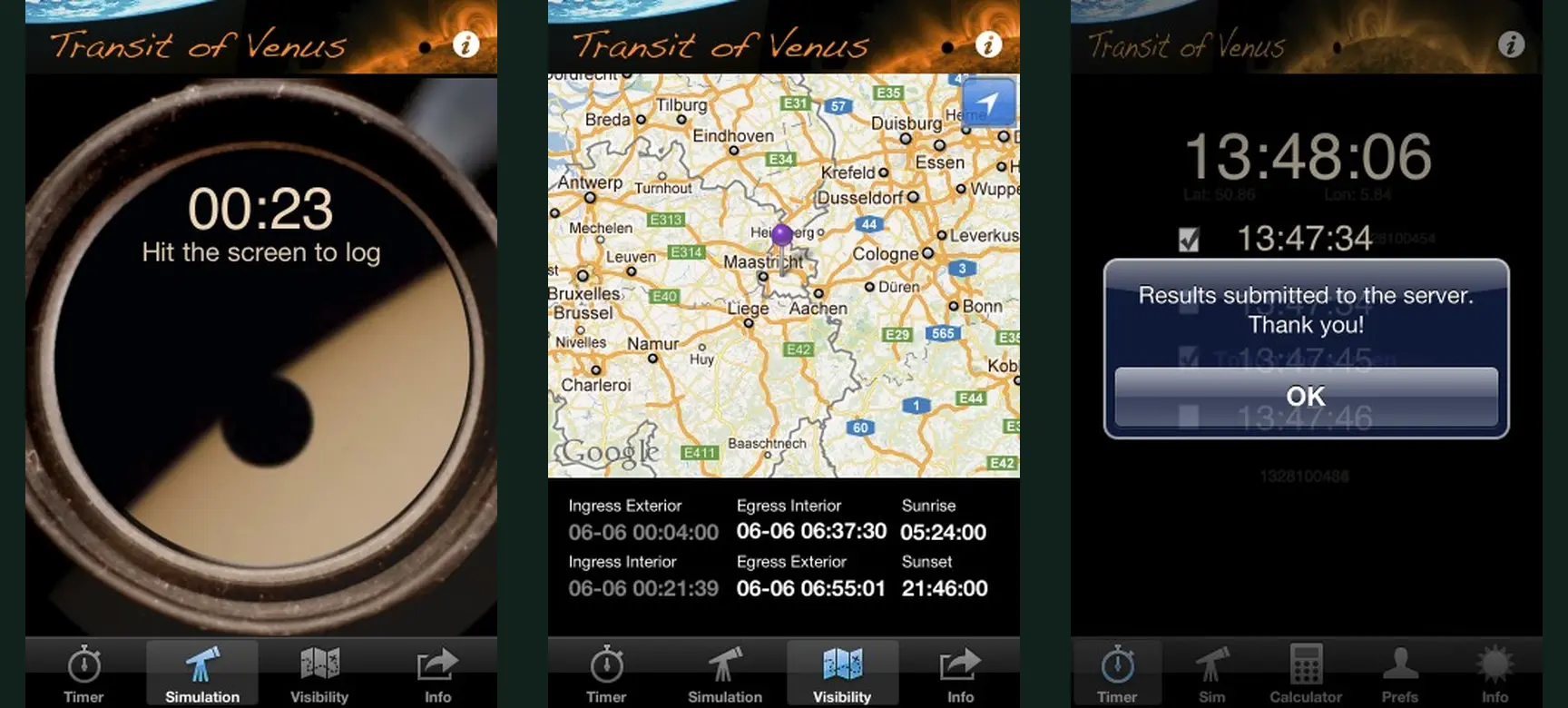
Could a worldwide crowd repeat the historic experiment for estimating the Earth–Sun distance? More than 130,000 people downloaded the app to take part.
Work for researchers worldwide, spanning public participation, scientific sensing, data infrastructure, outreach and long-term support.
The strongest thread through this portfolio is not a particular template or technology. It is the ability to turn a research method into something people understand, value and continue to use—while researchers receive the data, access and support they need.
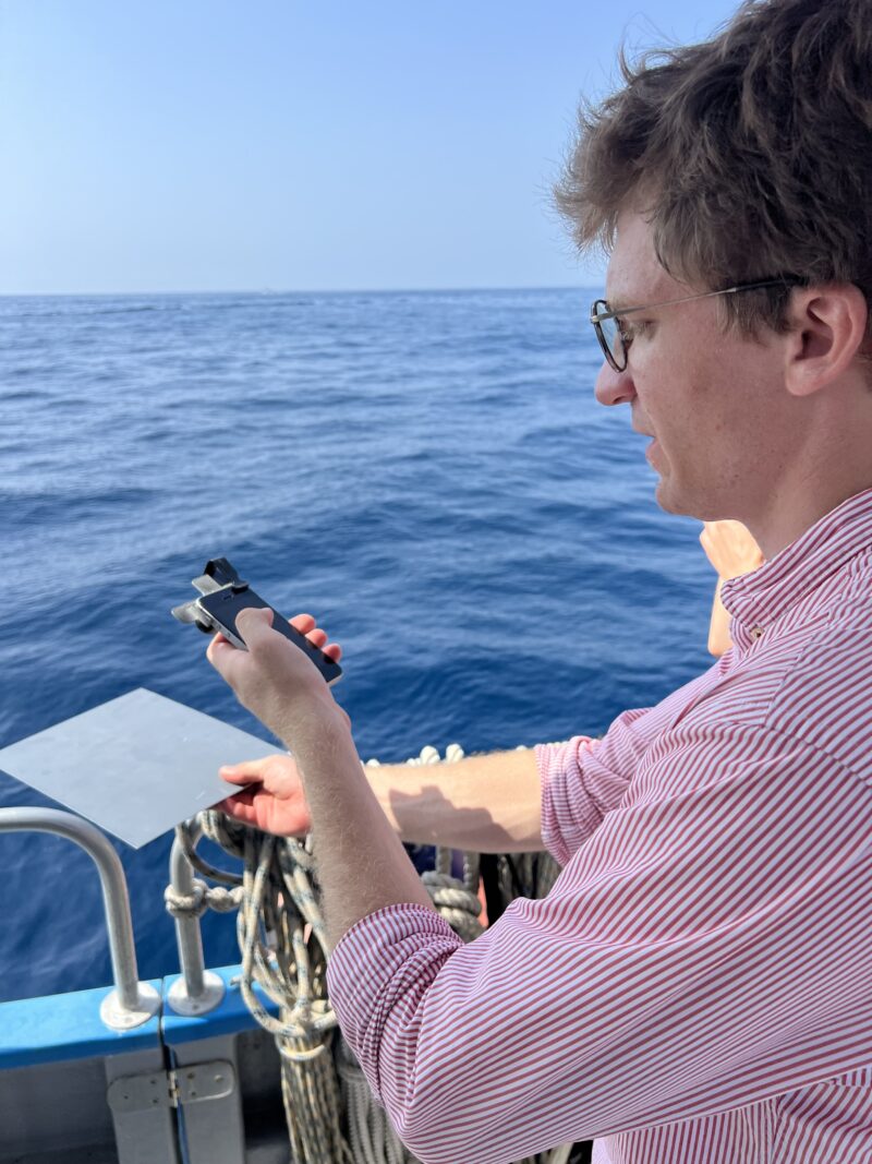
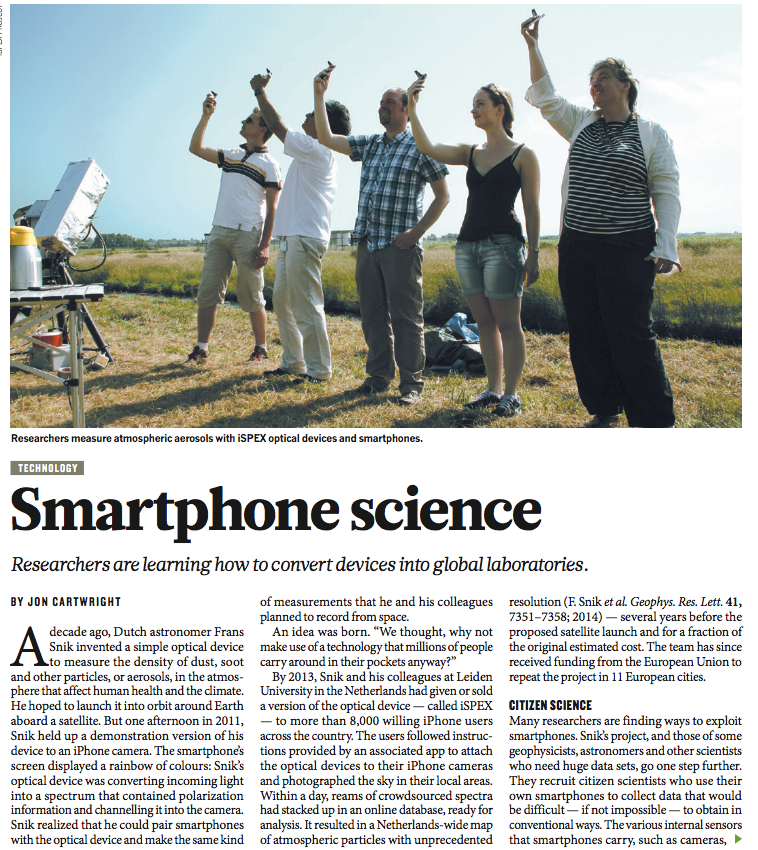
iSPEX1 was built for Leiden University and enabled a nationwide citizen air-quality map with more local detail than satellite data where observations were dense. iSPEX2 later achieved successful above-water Rrs validation with Plymouth Marine Laboratory.
Read the case study →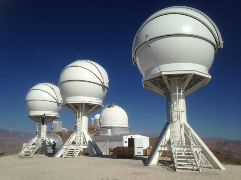
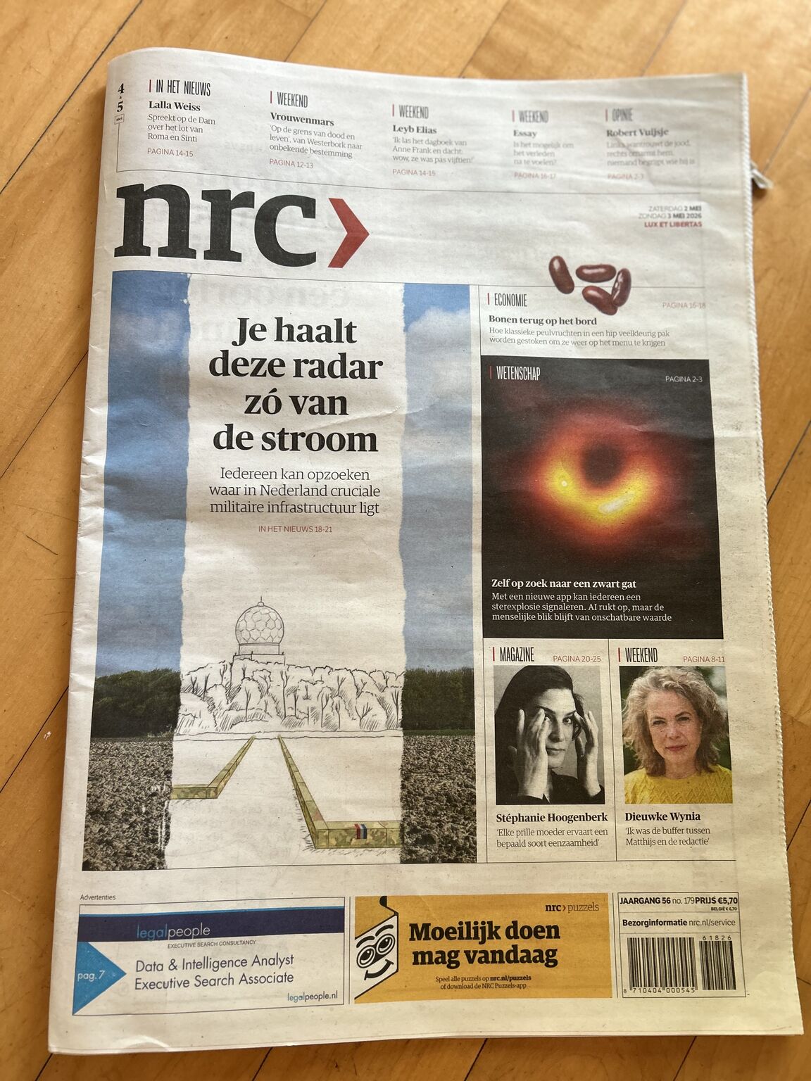
Public classification, researcher workflows and machine-learning support around live astronomical candidates. A SciStarter Top Ten project in 2024 and NRC front-page story in 2026.
Read the case study →
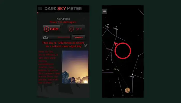
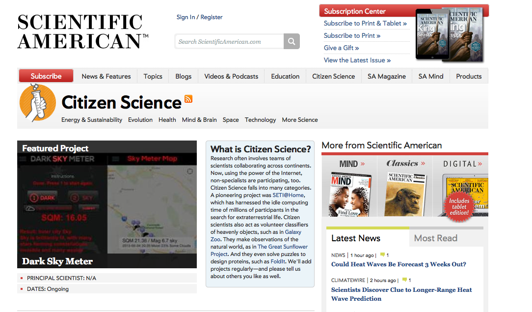
Dark Sky Meter and Pro for iPhone, plus continued development of Loss of the Night for Android. More than 50,000 Dark Sky Meter measurements and years of device calibration and support.
Read the case study →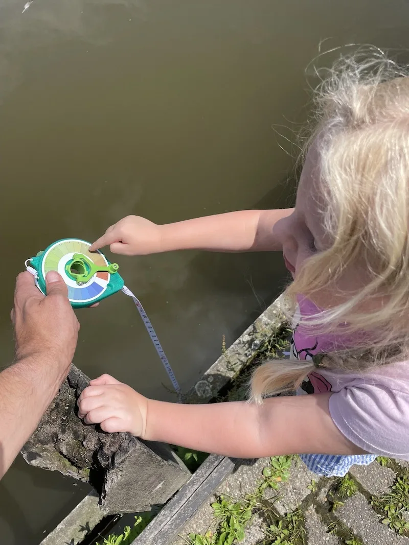
An actively maintained physical water-observation method connected to participant guidance, mobile and web applications and a research data service, developed through Horizon 2020 MONOCLE.
Read the case study →Some were worldwide campaigns, some were research infrastructure, some were focused public apps and some were early experiments. Together they show the range behind today’s offer.
Could a worldwide crowd repeat the historic experiment for estimating the Earth–Sun distance? More than 130,000 people downloaded the app to take part.
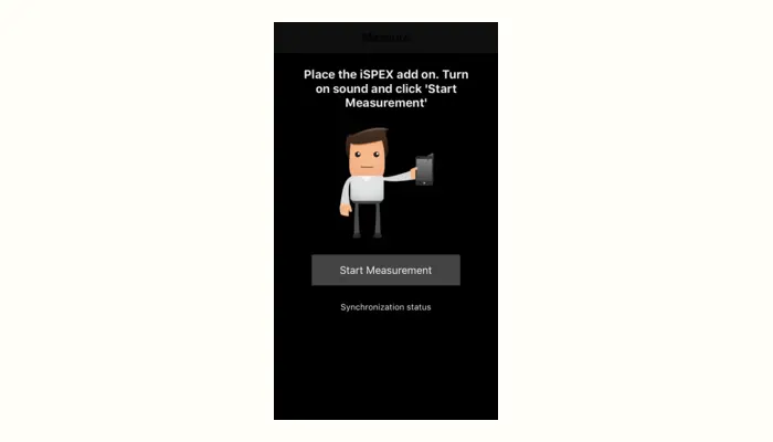
iSPEX1 followed polar researcher Berenice Nooteboom into the Arctic, bringing smartphone measurement into an extraordinary field campaign.
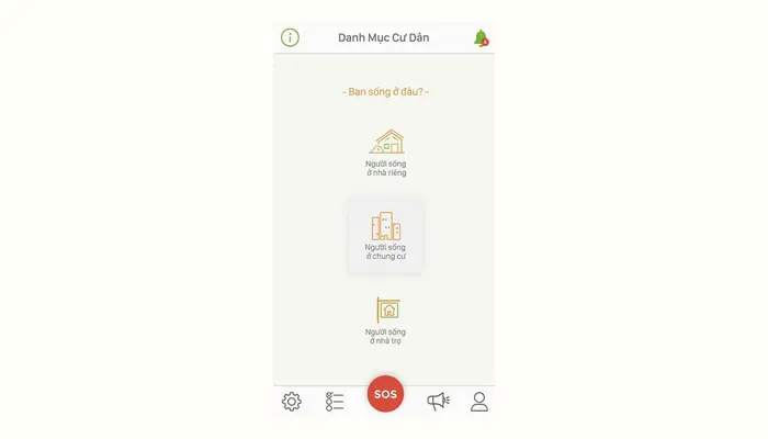
A public-engagement app that made participation visible through personal action, progress and an inviting mobile experience.
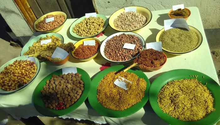
Farmers in Zimbabwe and Uganda could explore and record crop and food diversity through a practical field application.
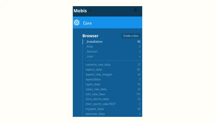
A reusable observatory platform for apps, offline fieldwork, sensors and research services—and one of the first citizen-science apps in the EOSC catalogue.
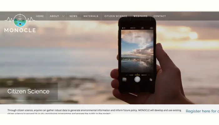
International water observation connected field campaigns, participant apps, low-cost instruments and research data across one programme.
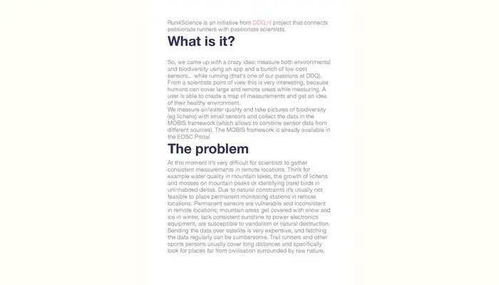
Runners became moving research participants, carrying environmental sensors while their smartphones connected activity, place and observations.
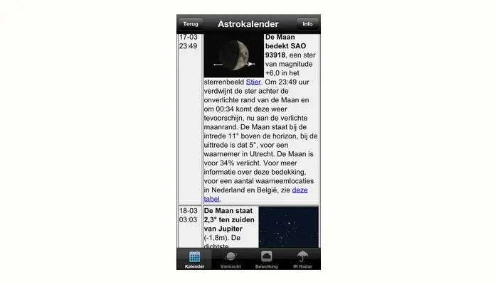
Astronomy information designed for the phone in your pocket, helping a broad Dutch audience understand what was visible overhead.
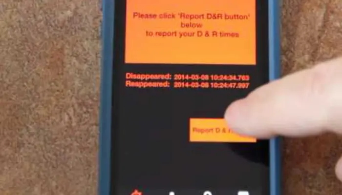
Observers at different locations timed one disappearing star; together, their measurements could reveal the shape of a near-Earth object.
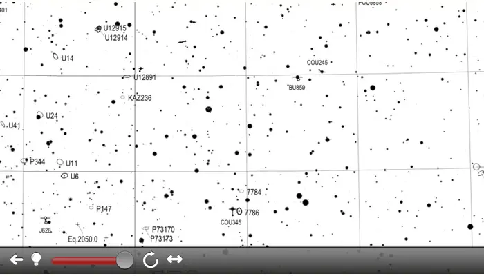
Detailed astronomical charts became an interactive mobile reference that observers could carry into the field.
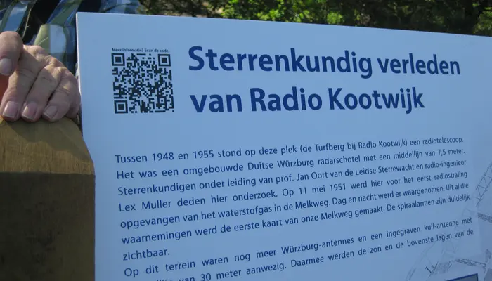
A location-based digital layer brought the history of Dutch radio astronomy to life at the monument itself.
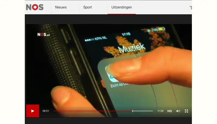
Citizens investigated artificial light with university researchers—and the experiment reached a national news audience.
When Leiden switched off its lights, residents used Pocket Science apps and a shared map to record how the night sky changed.
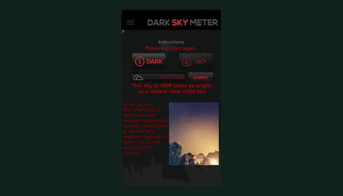
An IAU-sponsored public edition put smartphone light-pollution measurement within reach of a worldwide astronomy audience.
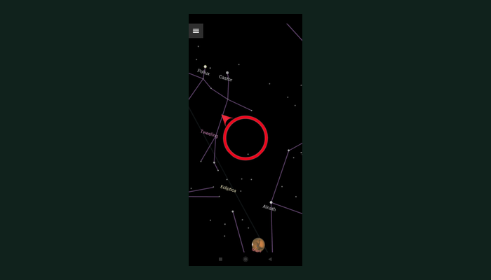
Guided naked-eye observations turn visible stars into light-pollution data. Pocket Science took over and continues development from IGB.
The history matters because today’s offer grew from real launches, field campaigns, scientific problems and years of operation.
The first Pocket Science app asked whether a worldwide crowd could repeat the centuries-old experiment for estimating one astronomical unit. It reached 130,000+ downloads and tens of thousands of submitted timings.
Phone-camera calibration, public light-pollution measurement, worldwide outreach and long-term product support.
Built for Leiden University and developed onward by Pocket Science: 10,000 instruments distributed, thousands of citizens and a national aerosol map with local detail beyond the satellite comparison where measurements were dense.
iSPEX2, Mini Secchi and international field campaigns expanded the work into water observation and above-water radiometry.
MOBIS became one of the first citizen-science apps in the European Open Science Cloud catalogue. Run4Science was developed with COS4CLOUD to connect mobile participation and environmental sensors.
Black Hole Finder, Mini Secchi and the Dark Sky Meter suite are actively maintained. Black Hole Finder also shows how public participation, experienced users, machine learning and researchers can contribute to one living observatory.
Selected archival proof from international and national coverage. These are evidence of public reach, not decoration.
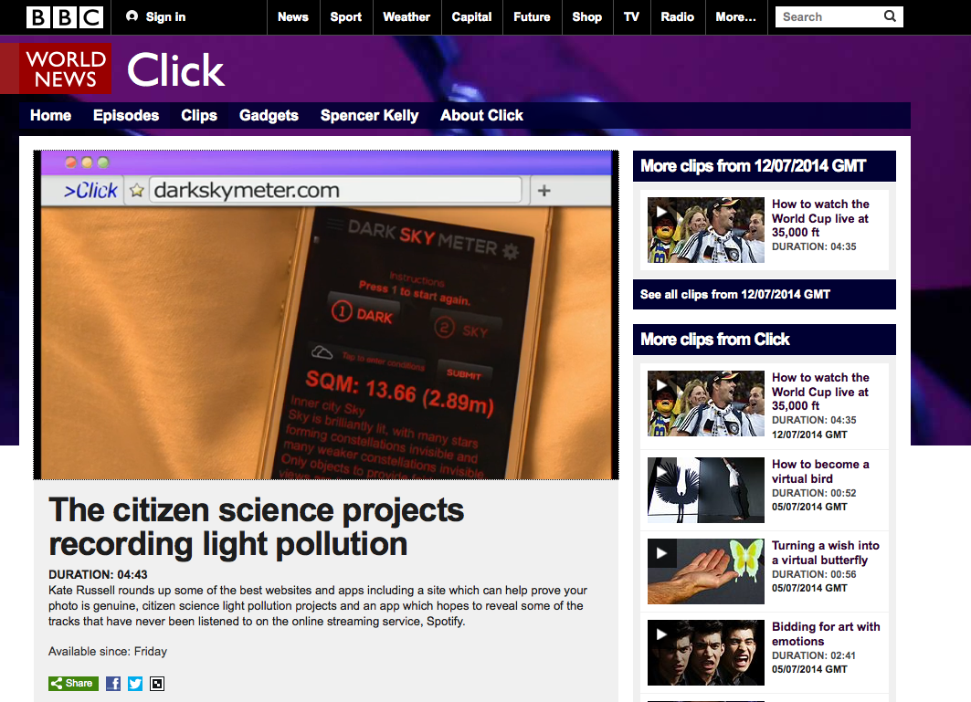
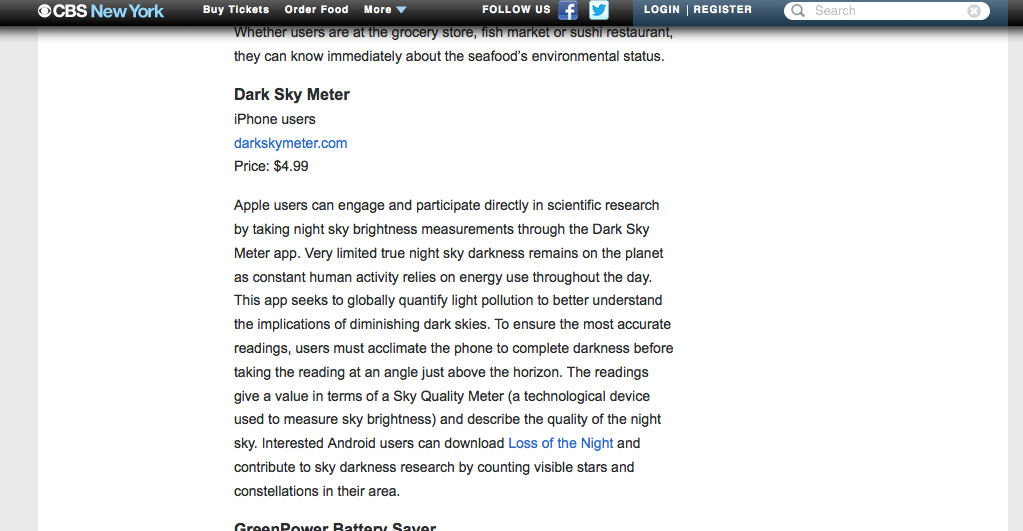
Research projects end. Apps still need updates, participants still need answers and data still carries value. Pocket Science has often continued where funded projects stopped.
That commitment also taught us a hard lesson: continuity cannot rest on unlimited unpaid work. Ownership, maintenance, support and the route beyond funding now belong in the project design from the start.
Discuss a project